Governor approves comprehensive updates to territorial plans for Aguas Buenas, Guayama & Morovis

By THE STAR STAFF
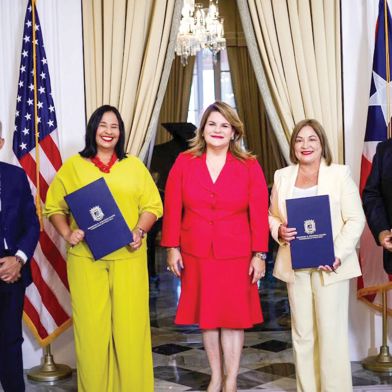
Gov. Jenniffer González Colón on Monday approved the first comprehensive revisions of the territorial land‑use plans for Aguas Buenas, Guayama and Morovis, giving the three municipalities updated planning tools to guide development, strengthen urban centers and protect environmentally sensitive areas.
With the new executive orders, the administration has now completed 18 first‑round comprehensive revisions of municipal land‑use plans in less than two years. The plans for Aguas Buenas, Guayama and Morovis had remained unchanged since 2011, 2008 and 2010, respectively.
González Colón said the updated plans are intended to align local development with current needs in housing, infrastructure and economic activity while preserving natural resources.
“Municipalities are a priority for my administration,” the governor said in a statement. “These revisions give them updated tools to plan according to the needs of their communities, orient housing and infrastructure development, and promote economic activity while protecting our natural resources.”
The executive orders approve the full set of documents and maps that make up each revised plan, including updated land classifications, zoning maps, roadway plans and new boundaries for traditional urban centers. They also incorporate minor adjustments to Puerto Rico’s 2015 Land Use Plan to reflect current conditions in each municipality.
In the case of Aguas Buenas, as previously reported by the STAR, the revision updates the town’s planning framework for the first time in about 15 years, providing a more precise basis for evaluating future construction, infrastructure and economic development projects. The new urban‑center boundary includes neighborhoods such as Teófilo Cartagena, Los Robles, Los Salas and Los Canejas, as well as key public facilities including the Gregorio “Goyito” Torres Government Center, Parque Manolo Fontánez and the Samuel “Sammy” Rodríguez Coliseum.
Protections for the Aguas Buenas Cave and Cavern System Natural Reserve remain unchanged.
Guayama’s updated plan strengthens the municipality’s urban‑center planning by redefining its boundaries to reflect current economic and service‑sector activity. It also updates zoning maps for the Aguirre-Bahía de Jobos and Guayama-Arroyo tourism zones within Guayama’s territory. The changes align tourism planning with present‑day land conditions and conservation policies without altering the official geographical limits of either zone.
Morovis’ first comprehensive revision since 2010 reorganizes land use across its 25,659.68 cuerdas (24,921 acres) of territory, with about 69% remaining classified as Specially Protected Rustic Land. The updated urban‑center boundary incorporates the Jaime A. Collazo del Río School and the Morovis Agrocultural Museum, using local roads and parcel boundaries as reference points.
The three plans were developed by the municipalities in coordination with the Puerto Rico Planning Board. The process included community meetings, public hearings and review of comments from residents and organizations. Each plan was approved by the corresponding municipal legislature and adopted by the Planning Board before reaching the governor’s desk.
“These approvals are the result of joint work with the municipalities and the participation of their communities,” González Colón said.